The App For Outdoor Adventures
In 2013, an app was created in Montana by Eric Siegfried to help him as well as others in the backcountry. At first it started out as the onX Chip, establishing onX as the first land data company of its kind. With the introduction of the Hunt App in 2013, onX changed the industry. It has been so helpful for hunting, hiking, rafting and general adventuring as well as looking up property lines. Have you ever been hunting, as soon as you tagged the animal it jumps a fence? This app gives you the property lines so you can know if you need permission to access the land where the game went so you can retrieve it.
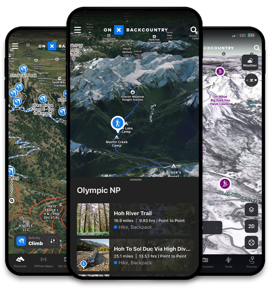
Not only does it help with hunting, it also is super helpful in the backcountry or on the rivers. If you have ever been rafting or floating and went down a channel that took you off path or hit a dead-end, you can pull out your phone to see how to get back on track. It also comes in handy when you want to map out a fishing or rafting adventure, mark your put in and take out so you can estimate the distance and time on the river, or save the sweet fishing hole to come back to later. Be safer skiing the backcountry…Plan your next ski tour, mountain bike ride, hike, or rock climb with hundreds of thousands of miles of trails and routes. Save unlimited Offline Maps, view the world in immersive 3D, build custom routes, see recent trail conditions reports, and analyze avalanche terrain..
OnX also will help us preserve public access with less folks accidentally entering private land. It clearly shows the markers for private and public lands as well as what hunting district a parcel is in and what weapons are allowed. One can also use the tracker feature to mark a trail when you are in the backcountry so you are less likely to get lost.
Get the OnX app and go out and explore with confidence! It is available for just Montana or for all 50 states.

